Aerial Insight for Golf Course Management.
Drone mapping, monitoring, and visual media designed to support course operations.
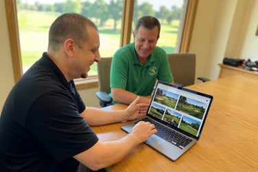
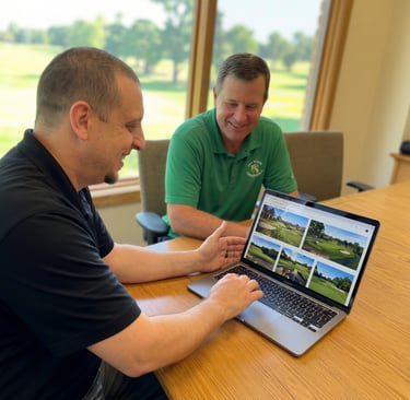
Modern drone technology gives golf courses a powerful advantage—combining stunning visuals with actionable data. From marketing your course to improving maintenance efficiency, aerial drone services help clubs operate smarter while showcasing their course at its very best.
Our Services
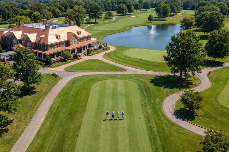
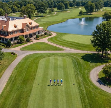
Aerial Photography
High-resolution aerial photography captures your course from perspectives golfers rarely see. Perfect for websites, brochures, scorecards, and marketing campaigns, these images highlight your course’s layout, landscape, and signature holes—helping attract new players and memberships.
Aerial Videography
Immersive drone video creates stunning visual tours of your course that engage golfers online and on social media. Showcase elevation changes, water features, and scenic fairways with cinematic visuals that elevate your club’s brand and drive interest.
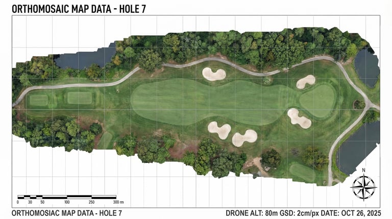
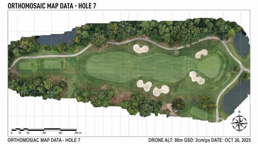
Course Mapping & 3D Modeling
Using advanced drone mapping technology, we create accurate aerial maps and 3D models of your entire course. These tools help with planning renovations, analyzing layouts, improving playability, and communicating design changes with architects and stakeholders.
Inspection & Monitoring
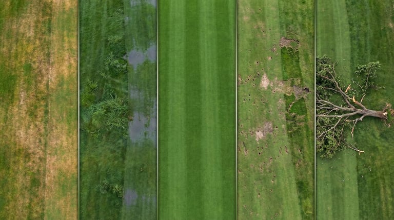
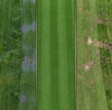
Drone inspections provide fast, comprehensive visibility across the entire property. Identify drainage issues, turf stress, irrigation problems, bunker erosion, cart path damage, and other maintenance needs quickly—before they become costly repairs.
Common Course Challenges
Golf course maintenance teams manage a complex property with many moving parts. Identifying issues early can make the difference between routine maintenance and costly repairs.
Common issues include:
• Irrigation coverage problems
• Drainage trouble after storms
• Turf stress or dry spots
• Bunker erosion
• Cart path deterioration
• Tree canopy encroachment
• Construction monitoring
• Hard-to-see course conditions
Many of these problems are difficult to identify from the ground until they become expensive.
A Smarter Way to See Your Course
Drone technology gives superintendents and managers a complete aerial perspective of the entire property.
With high-resolution aerial data, you can:
✔ Inspect large areas quickly
✔ Identify issues earlier
✔ Monitor course conditions regularly
✔ Improve maintenance decision-making
✔ Document course changes over time
Drone inspections provide valuable insight without disrupting play or requiring extensive manual inspections.
Let's Elevate Your Course
Whether you want to improve course visibility, monitor conditions, or showcase your course’s beauty, drone technology offers a powerful new perspective.
Schedule a consultation to learn how aerial data can support your course operations.