Multiple Ways to View Your Course.
This point cloud can be used to generate a 3D navigable and scaleable model of your holes/course for site planning or visualization.
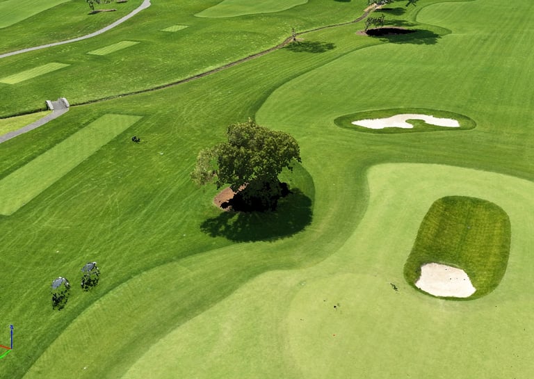
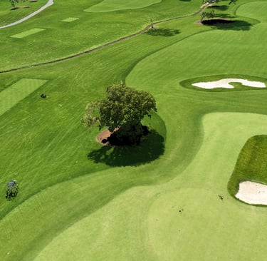
Full Color RGB Point Cloud
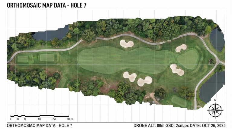
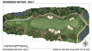
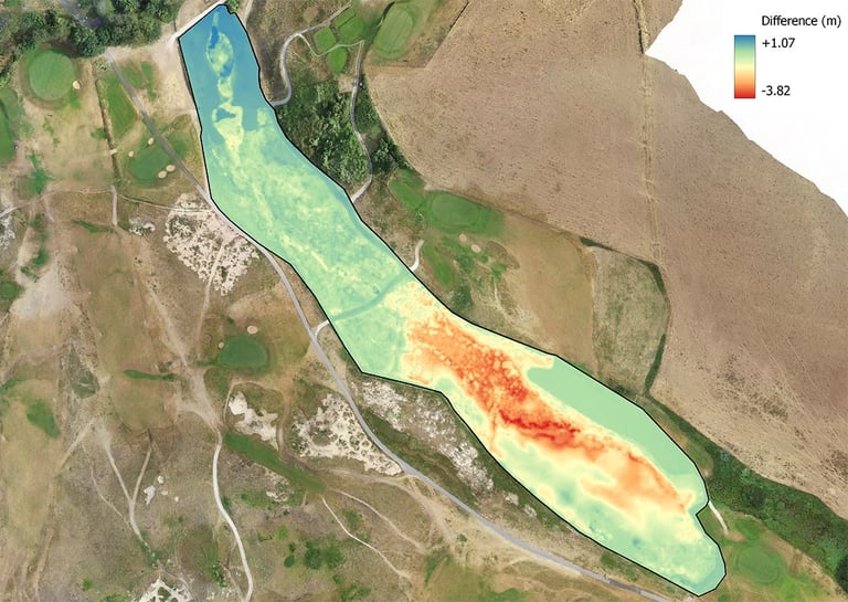
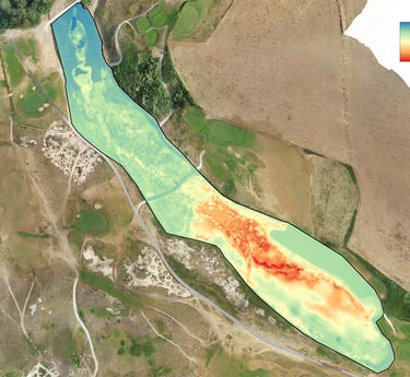
Orthomosiac Maps & Volume Surveys
Volume calculations calculated from multiple photogrammetry surveys to determine elevation changes over the range of your course, allowing for insights regarding water retention, irrigation flow or even potentially ball movement.
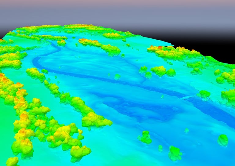
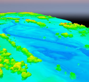
Digital Surface Model (DSM)
A 3D representation of a golf course showing all natural features and man-made features.